GEO-XR: XR for geographical spatial analyses
Project
Geography is concerned with developments in the landscape, that can occur at very different temporal and spatial scales. Human perception and imagination regularly reach their limits here and it is often technological innovations that give us a new insight and level of understanding. In addition to opening up new perspectives, just as the conquest of airspace once gave people a bird's eye view, today extended reality technologies can also expand teaching and learning environments by adding a new perception such as of the temporal dimension.
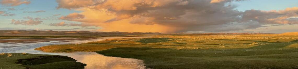
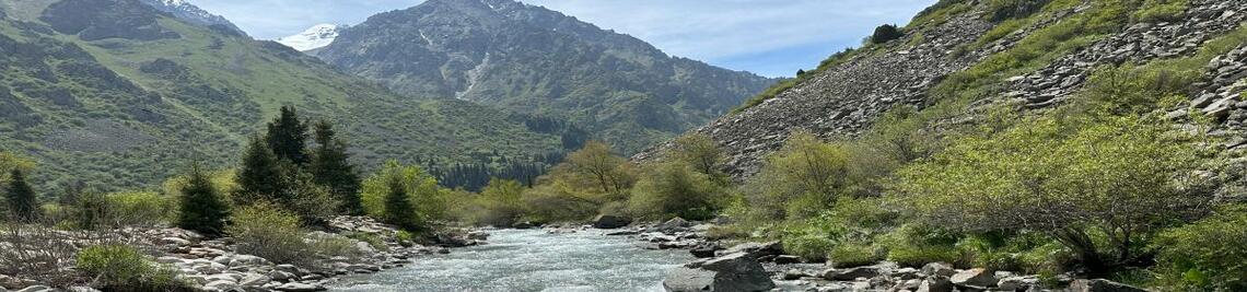
The project will optimise existing interfaces between geographical information systems and XR mapping methods for targeted spatial analysis. Landscape development processes, which often take place far too slowly for human perception (e.g. formation of river terraces, draining of marshlands), can thus be experienced in time-lapse and in a visually appealing way. This facilitates a deeper understanding of the dynamics and complexity of geographical changes.
The availability of digital formats that are largely independent of technological and physical barriers also enables more inclusive and enriching access to teaching programmes such as excursions and field practicals and to spatial information in general.
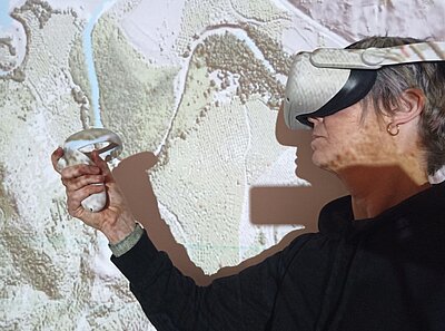
Didactic aspects
The didactic realisation can take place both at the excursion site, in the sandbox model, as well as in the seminar room before and after the excursion. By combining VR and AR elements, students can experience geographical phenomena immersively and thus develop an integrated understanding.
The ability to change perspective through various XR modes such as Fly Over, Tabletop and World Scale allows students to view landscape development processes from different angles and thus better understand and study patterns and relationships in geographic space. This multi-perspective view results in a new way of interacting with geographical data and fosters a deeper understanding of their functional relationships and assessability.
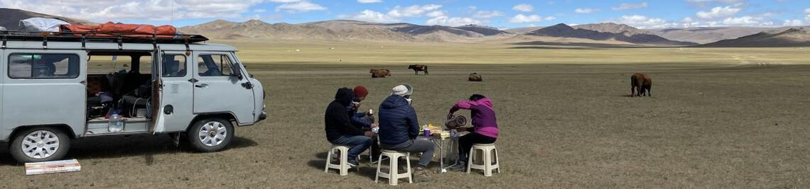
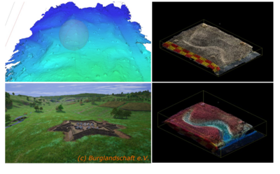
A particular focus is on bidirectional experiences. Using laser scanning and photogrammetry, landscapes can be recorded during a practical teaching unit and then modelled in the seminar room. These models make it possible to combine field impressions and literature work and to conduct joint analyses.
The simultaneous blending of temporal and spatial dimensions of landscape development using XR, as well as the visual aggregation of field and book knowledge, create a novel didactic experience. This creates an integrated understanding of the observed forms and their development processes, both through induced impressions and through the deduction of geographical concepts.
Funding
The project is part of the funding initiative “WUEDIVE – Digitale Innovation in der Lehre” ( ‘WUEDIVE - Digital Innovation in Teaching’) of the Centre for Academic Education and Teaching (ZBL)
Das Projekt - WueDive - Digitale Innovationen in der Lehre
Zentrum für wissenschaftliche Bildung und Lehre - Zentrum für wissenschaftliche Bildung und Lehre
Team
Project leadership
Dr. Angela Tintrup gen. Suntrup
Photogrammetry & lascer scanning
Prof. Dr. Georg Stauch; Dr. Janek Walk
