Smartphone-supported mapping of landforms
Geomorphological research and teaching thrives on the three-dimensional (3D) observation of objects. Only when all three dimensions are taken into account, is it possible to gain a deeper understanding of landform relationships and the underlying geomorphological processes. Therefore, field trips are an essential part of most geoscience curricula. Thus, 3D models of landforms are used to improve the understanding of landform formation. Especially interactive animations are beneficial to train spatial understanding (see also Project Geo-XR). In recent decades, three-dimensional representations of the Earth’s surface in the form of digital elevation models (DEM) or digital surface models (DSM) have become increasingly common.

A LiDAR system is installed in some smartphones and tablets since the year 2020, which provides another possibility for creating 3D virtual models of geomorphological objects. In contrast to the classic TLS (Terrestrial Laser Scanner) with ranges of up to several hundred metres, however, the distance measurement only extends to a maximum of 5 m. Our own tests indicate an optimal measuring distance of maximum 2 m. However, these ‘simple’ LiDAR systems are also excellently suited for use in teaching or the documentation of objects. They can be used to record geomorphological forms three-dimensionally and prepare them for teaching in different ways. There are now many free software tools for PCs and apps for smartphones for creating and viewing 3D models. The open-source software Blender in its current version 3.0 is suitable for a pure representation with possible post-processing of the surfaces. For further processing, the software enables, among many other options, the creation of various lighting sources including shadow casting as well as animation for films. A suitable format for further processing of the data from the 3D Scanner App is OBJ. The topographic information and the texture can be processed separately. For the compilation of DSM, which can be used in Geographical Information Systems (GIS), the open-source programme CloudCompare can be used.

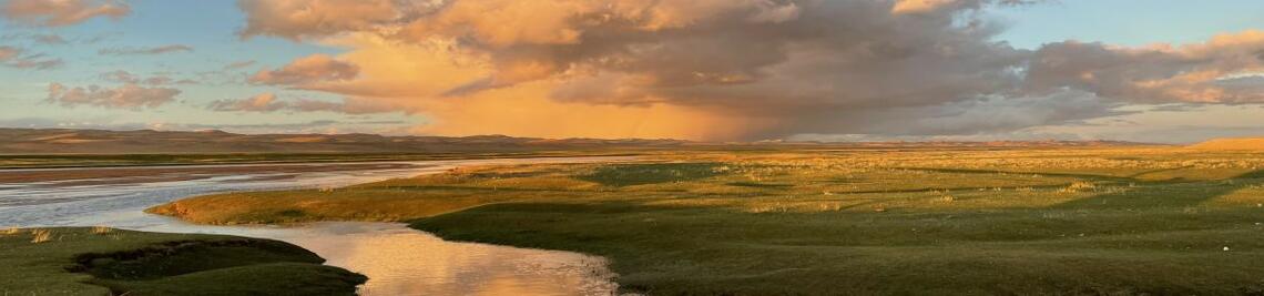
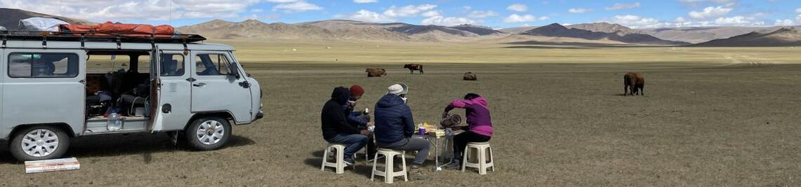
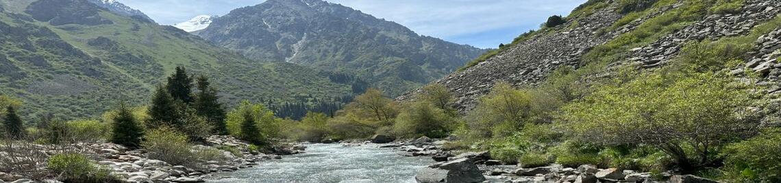
The application comprises many different tasks, ranging from simple documentation, like the Balsica Salobre at the Peñón de la Reina in Andalusia (first figure), measurements of geomorphological landforms like the sunken lane in the second figure or multitemporal measurements of river systems (third figure).
It will be exciting when such LiDAR modules become established in further and more cost-ef-fective end user devices. In research, smartphone-supported LiDAR system might increase the number of geomorphological monitoring sites dramatically. Furthermore, this would also enable more extensive Citizen Science projects, e.g. for the observation of locations with high geomorphological dynamics such as impact slopes on rivers or the formation of erosion gullies. Recent projects of the Chair of Geomorphology are monitoring several gullies and sinkholes in the surrounding of the city of Wuerzburg, to determine changes in these geomorphological landforms.

Publications
Stauch, G., 2022. Smartphone-supported mapping of landforms – A new tool in teaching geomorphology. Erdkunde 76 3, 227-234. https://doi.org/10.3112/erdkunde.2022.03.06
